Published
- 10 min read
Gold Panning in Georgia: Dahlonega and Beyond
Most people don’t realize Georgia had a gold rush before California. Almost twenty years before, actually. In 1828, a kid named Benjamin Parks kicked up a rock in what’s now Lumpkin County and found gold. Within a year, thousands of miners flooded the area around Dahlonega, and the U.S. government built a mint there in 1838 to process all the metal coming out of the hills. That mint operated until the Civil War.
I went to Georgia expecting a tourist trap. Gold panning in Georgia — how serious could it be? Dahlonega has fudge shops and wine tasting rooms. There are guided panning experiences where someone hands you a bag of seeded dirt and you find a flake. That stuff exists and it’s fine for families, but it gave me completely the wrong impression of what the geology actually holds.
The Appalachian gold belt runs from Alabama through Georgia and up into the Carolinas. The same metamorphic geology that produces gold in western North Carolina runs right through Lumpkin, White, and Cherokee Counties. Georgia gold is real, it’s fine, and if you know where to look, there’s enough to keep you busy for a long weekend.

Dahlonega: Where It Started
Dahlonega is the obvious starting point and for good reason. The town sits right on top of the gold belt. The historic square has a gold museum in the old courthouse — worth an hour if you’re into mining history — and the surrounding creeks have been producing gold for nearly 200 years.
The tourist operations are everywhere. Consolidated Gold Mine runs underground tours and has guaranteed panning. Crisson Gold Mine lets you pan from buckets of their dirt. These are fun with kids. My niece loved Crisson when she was seven — she found a garnet the size of a pea and talked about it for weeks. But if you want actual prospecting, you need to get out of downtown and onto moving water.
Yahoola Creek
This is the creek that started the Georgia gold rush. It runs right through Dahlonega and you can access it from several points along Highway 60 north of town. I parked at a pulloff about two miles past the Walmart where the road crosses the creek. Not glamorous. But the stretch downstream from the bridge had exposed bedrock along the left bank with crevices full of dark material.
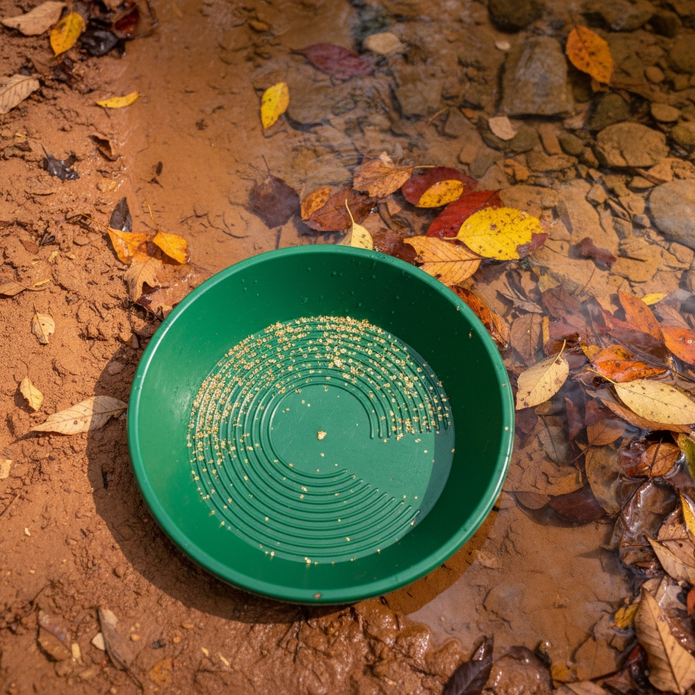
Georgia gold is fine. Really fine. If you’ve panned in Colorado or California and you’re used to seeing flakes, adjust your expectations. Most of what you’ll find is flour gold — tiny bright specks that you need a snuffer bottle to pick up. I brought my 14-inch Garrett pan and a Pro-Line snuffer, which is the same basic setup I recommend for beginners. Ran about fifteen pans over two hours. Got color in maybe half of them, mostly single specks per pan. One pan had four or five pieces, including something I’d almost call a flake. Almost.
The creek bottom here is mostly schist and quartz — you’ll see white quartz veins in the bedrock everywhere. That’s what you want. Gold in the Dahlonega belt formed in quartz veins running through metamorphic rock. Where the quartz is, the gold was. Where the gold was, placer deposits formed in the creek below.
Chestatee River
The Chestatee is bigger water than Yahoola Creek and it drains a wider section of the gold belt. Access is trickier. I went to the stretch near the Highway 19 bridge south of Dahlonega, where there’s a wide gravel bar on the east bank. You can park at a pulloff on the road and scramble down.
Bigger river means the gold has traveled farther and it’s spread out more. But it also means there’s more material to work with. I spent a morning sampling along about a quarter mile of the Chestatee, testing different spots with single pans before committing. The best color came from behind a cluster of boulders where the current created a slack-water zone. Classic gold trap — the kind of spot where heavy material drops out as the water slows.
The red clay threw me off at first. Georgia soil is iron-rich and stains everything orange-red. My first few pans looked like I was washing tomato soup and I couldn’t see anything. You have to be more thorough with your washing here than in western streams where the material is mostly gray granite sand. Work the pan longer, keep rinsing until the water runs clear, and then look for gold against the clean green of the pan.
Beyond Dahlonega
Etowah River
The Etowah drains Cherokee and Dawson Counties and has a long history of gold production. The stretch near Dawsonville is accessible from several road crossings. I haven’t spent as much time here as on the Dahlonega creeks, but the one afternoon I worked a gravel bar below a bridge on Highway 9 produced fine gold — comparable to what I found on Yahoola Creek.
The Etowah gets less prospecting pressure than the Dahlonega area creeks, which means the easy spots haven’t been picked over as thoroughly. If you check the GoldFever.app map and zoom into the Etowah drainage, you’ll see USGS mine markers scattered along it. Historic mines mean historic production, which means there’s material in the creek below.
Duke’s Creek
Duke’s Creek near Helen is another option. It’s a smaller stream in a scenic gorge — Duke’s Creek Falls is a popular hiking destination. The upper reaches above the falls, in the Chattahoochee National Forest, are accessible and I’ve heard reports of gold there, though I haven’t personally confirmed it. Worth a scouting trip if you’re in the area.
Georgia Gold vs. Western Gold
If you’ve prospected in Colorado or California, Georgia will feel different. The gold is finer, the deposits are shallower, and the geology is fundamentally different.
Western placer gold often comes from large quartz vein systems eroded by mountain streams with serious gradient. The gold gets knocked around, rounded, and concentrated in high-energy deposits. Georgia gold comes from a metamorphic belt where gold formed in thin quartz stringers through schist and gneiss. The veins are smaller, the gold particles are smaller, and the streams that carry them are lower-gradient Appalachian creeks, not mountain rivers.
What this means practically: bring a snuffer bottle with a wide tip, expect flour gold, and don’t compare your results to what people find out west. I made this mistake on my first Georgia trip. I was disappointed because I didn’t find a single piece I could pick up with tweezers. Then I looked at it under a loupe and realized I had dozens of bright gold specks — more pieces than I’d found in a typical Colorado day, just way smaller. Georgia gold adds up. It just adds up slowly.
The flip side is that Georgia is gentle. No altitude sickness. No hypothermia risk from snowmelt streams. No lightning at 12,000 feet. I was panning Yahoola Creek in October wearing a T-shirt and jeans. The water was cool, not cold. I could feel my hands the whole time. After years of Colorado streams where my fingers go numb in ten minutes, that was a genuine luxury.
Regulations and Legal Requirements
Georgia is relatively friendly for recreational gold panning, but there are rules. The Georgia Department of Natural Resources regulates mining activity, and you need to know the basics before you start.
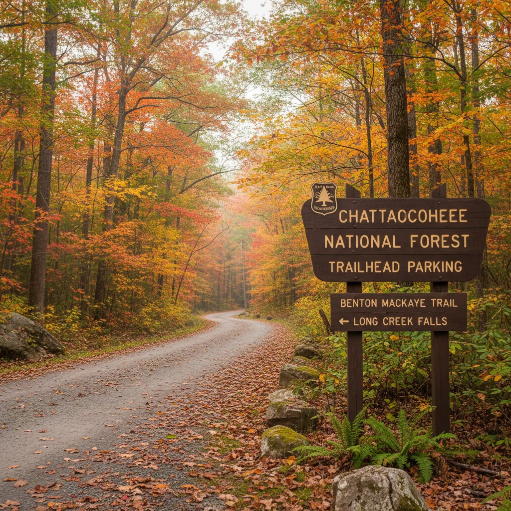
Public land: The Chattahoochee National Forest covers much of the gold belt. Hand panning is generally allowed on national forest land without a permit, but motorized equipment (dredges, highbankers) requires permits and is restricted on many streams. Check with the Chattahoochee-Oconee National Forests office for current rules on specific waterways.
Private land: A lot of the best gold-bearing creeks in Georgia run through private property. Always get permission. This sounds obvious but the property boundaries in Lumpkin County are not well-marked and it’s easy to wander onto private land. I nearly made this mistake on the Chestatee — a guy fishing downstream waved me over and mentioned I was about fifty yards past the forest boundary. Friendly about it, thankfully.
State parks: Panning in state parks is generally prohibited unless specifically allowed.
Claims: Active mining claims exist throughout the gold belt. Check the BLM’s LR2000 system or the GoldFever.app map for claim locations before you set up. Georgia’s claim density isn’t as intense as Colorado’s, but they’re out there.
For a broader overview of where recreational panning is legal, I wrote a guide to gold panning laws by state that covers Georgia along with every other state.
Best Time to Go
Georgia’s gold season is longer than most western states. You can realistically pan from March through November without being miserable.
Spring (March-May): Higher water from spring rain. Good for scouting — you can see where the creek deposits material during high flow. Harder to access bedrock.
Summer (June-August): Hot and humid. Seriously humid. I was drenched in sweat within twenty minutes of leaving the creek in October, and locals told me I had it easy. Summer prospecting means early mornings. Be on the water by 7 AM and quit by noon. Afternoon thunderstorms are common. The upside: creeks are lower and bedrock is more exposed.
Fall (September-November): The sweet spot. The humidity breaks in October, the water is still warm enough to wade comfortably, and the Appalachian foliage is spectacular. My October trip was probably the most pleasant prospecting I’ve done anywhere. Sixty-five degrees, light breeze, gold in the pan, leaves turning orange on the ridges above the creek.
Winter (December-February): Cold by Georgia standards, meaning 30s and 40s. Perfectly comfortable for anyone used to western prospecting. Lower water levels expose the most bedrock. The tourist operations in Dahlonega are quieter. Not a bad time to go if you don’t mind shorter days.
Planning a Trip
Dahlonega is about 90 minutes north of Atlanta on Highway 19. Easy drive, no mountain passes to deal with. The town has hotels, vacation rentals, and restaurants. If you want to camp, there are several campgrounds in the Chattahoochee National Forest within 15 minutes of town.
I stayed at a campground on Forest Road off Highway 60 north of Dahlonega. Ten bucks a night, vault toilet, creek access within walking distance. Not fancy. But I could wake up, walk to water, and start panning before the day visitors showed up. That first hour alone on the creek was worth the lumpy sleeping pad.
For a multi-day prospecting trip, I’d plan it like this: Day one, scout Yahoola Creek and the Dahlonega area. Day two, drive down to the Chestatee or Etowah and work different water. Day three, go back to whichever spot produced best and work it more thoroughly. Three days is enough to get a real feel for Georgia gold without rushing.
The GoldFever.app shows historic mine locations across the entire US including Georgia — use it to identify drainages that produced historically, then go find the nearest public access and start sampling.
What I Took Home
After three days in Georgia, my vial had a thin line of flour gold along the bottom. Maybe 0.1 grams. Not retiring on that. But I also had a clear picture of the geology, a list of spots I want to revisit, and confirmation that the Appalachian gold belt is real — not just a historical footnote. The gold is there. It’s fine, it’s patient work, and it’s a completely different experience from chasing coarse flakes in Rocky Mountain streams.
Georgia won’t give you picker nuggets. But it’ll give you history, comfortable weather, and enough gold to keep you coming back. And honestly, panning in a T-shirt without numb fingers is something I didn’t know I was missing until I tried it.