Published
- 16 min read
Gold Panning in California: 8 Best Spots (23,872 USGS Sites)
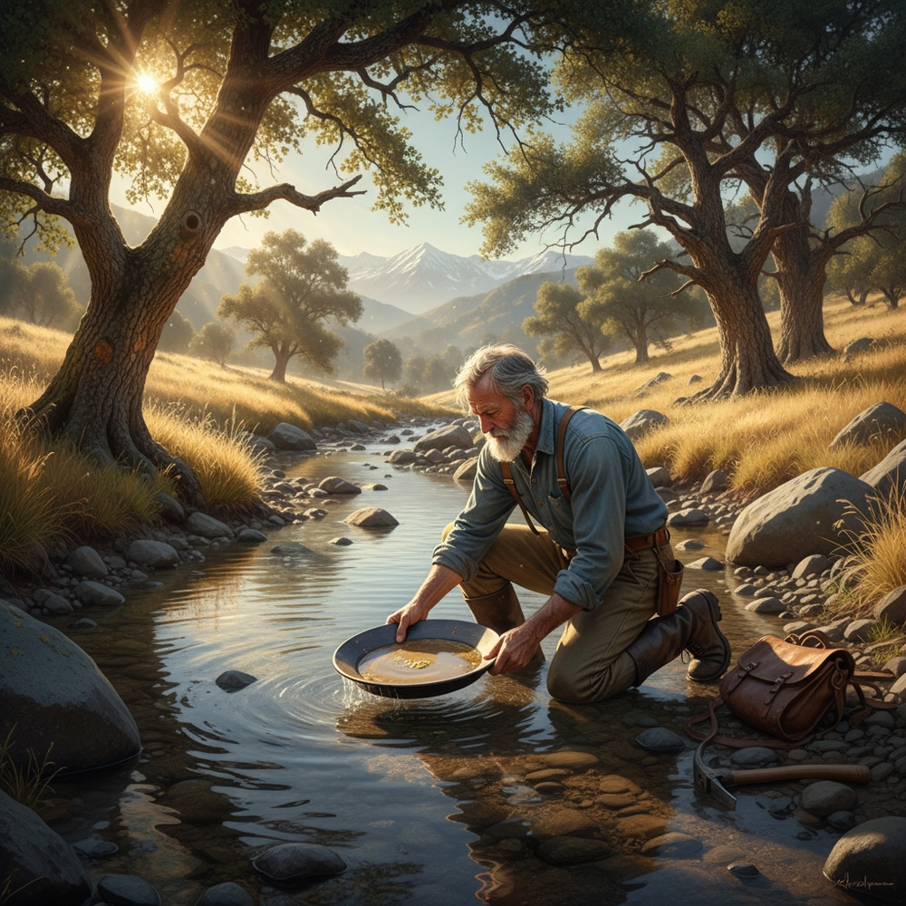
California has more documented gold sites than any other state in America — and it’s not close. The USGS Mineral Resources Data System lists 23,872 gold-bearing sites across the state, nearly triple the count of second-place Alaska. I spent over a year importing that dataset into the GoldFever.app mine map, and when you zoom into California the screen turns into a solid wall of markers from Siskiyou County down to San Diego.
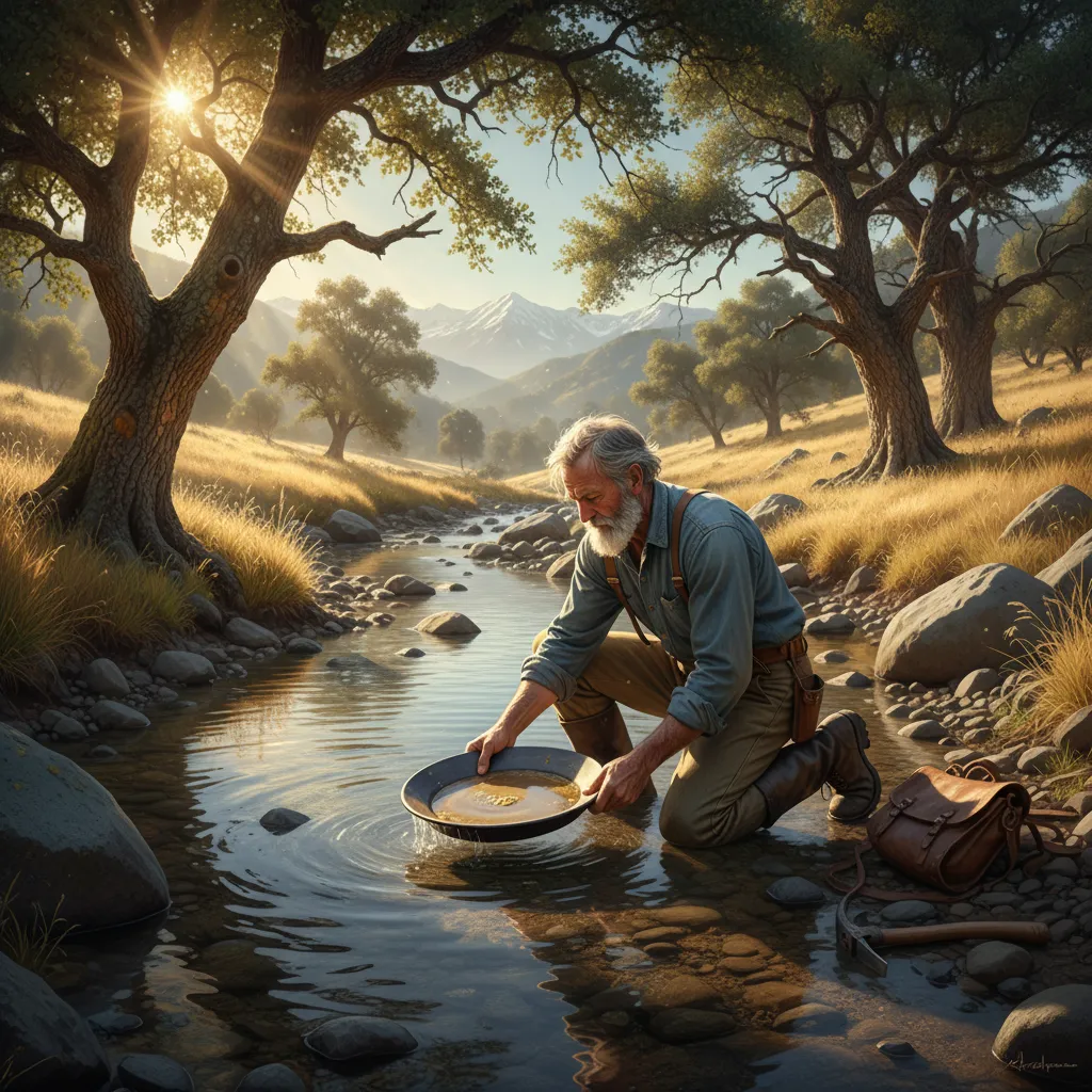
Gold panning in California isn’t a novelty. It’s a legitimate activity backed by 175 years of continuous prospecting and geological data that says the majority of the state’s gold is still in the ground. Here are eight specific spots where you can find it, the legal framework you need to follow, and the seasonal timing that separates productive trips from wasted weekends.
California’s Gold: 23,872 Sites by the Numbers
Before getting into locations, here’s what you’re working with. This data comes directly from the USGS MRDS database — the same dataset that powers the GoldFever.app mine map.
| Category | Count |
|---|---|
| Total Gold Sites | 23,872 |
| Active Producers | 1,444 |
| Past Producers | 8,813 |
| Prospects | 2,659 |
| Occurrences | 6,155 |
California has 8,813 past-producing gold mines — places where someone commercially extracted gold and moved on. That’s more past producers than most states have total gold sites. Another 1,444 operations are still listed as active. For the full state-by-state comparison, see the gold mines by state data breakdown — California’s count is nearly equal to the next three states (Alaska, Nevada, and Colorado) combined.
Those 23,872 sites concentrate in distinct geological belts:
- Mother Lode Belt (El Dorado, Amador, Calaveras, Tuolumne counties): The densest gold corridor in North America, running 120 miles along the western Sierra Nevada foothills. Over 8,000 documented sites.
- Klamath Mountains (Trinity, Siskiyou counties): Remote, heavily forested, and loaded with both gold and platinum. Major hydraulic mining region in the 1860s–1880s.
- Northern Sierra (Sierra, Plumas, Butte counties): Historic hard-rock mining country with placer deposits in every drainage.
- Southern Mines (Mariposa, Madera counties): The southern extension of the Mother Lode, less crowded and less picked-over.
- Desert Districts (San Bernardino, Kern, Los Angeles counties): Lode gold in quartz veins and placer deposits in desert washes. Different geology, different techniques.
Geologists estimate that 80–90% of California’s gold has never been recovered. The forty-niners worked with pans, rockers, and sluice boxes — they grabbed what was easy and moved on. The mountains keep eroding. New gold washes downstream every winter. That’s not optimism — it’s hydrology.
The Mother Lode: Why California Gold Exists
The Mother Lode belt exists because of plate tectonics operating over hundreds of millions of years. The Pacific plate subducting beneath the North American plate forced superheated fluids through fractures in the Sierra Nevada batholith, depositing gold in quartz veins throughout the upper crust. Erosion has been breaking those veins apart and redistributing gold into stream channels ever since.
What makes the Mother Lode special for recreational prospectors: the gold-bearing quartz veins outcrop along the entire western slope of the Sierra Nevada foothills, roughly between 1,000 and 3,000 feet elevation. Every creek, river, and drainage cutting through this zone has carried gold downhill. The placer deposits in these waterways are constantly replenished by winter storms — spots that seem exhausted in September can have fresh gold sitting in the riffles by the following June.
The concentration isn’t uniform. Gold settles where water velocity drops: inside bends, behind boulders, in bedrock crevices, and at the confluence of tributaries. If you understand how gold moves in rivers, California’s waterways become readable — the geology tells you where to dig before you even get your pan wet.
8 Best Gold Panning Spots in California
1. South Fork American River near Coloma (38.8010°N, 120.8903°W)
This is where James Marshall found the nugget that started the California Gold Rush in January 1848. The stretch between Lotus and Salmon Falls has BLM land with public access — no permit required for hand panning. Park near the Marshall Gold Discovery State Historic Park and work upstream or downstream on public stretches.
The gold here is fine placer gold — flour to small flakes. Target inside bends where bedrock is exposed and clean out crevices with a flat-head screwdriver. A snuffer bottle is mandatory — trying to pick up California flour gold with tweezers is an exercise in frustration. On a decent day you can expect a few flakes to a tenth of a gram. Occasionally more if you find a productive crevice that hasn’t been cleaned recently.
Best season: Fall (September–November) when water levels drop and expose gravel bars that are submerged the rest of the year. Summer weekends get crowded — I’ve counted over a dozen prospectors on a single beach near Coloma on a Saturday.
2. South Yuba River State Park (39.3207°N, 121.1879°W)
The Yuba River system — North, Middle, and South forks — is where serious California prospectors spend their time. The South Yuba River State Park gives you miles of public river access through steep canyons that limit casual foot traffic. Less people means less picked-over gravel.
The gold runs coarser here than the American River. Not dramatically, but noticeably. The canyons funnel gold into concentrated deposits along bedrock shelves. Hydraulic miners devastated parts of the Yuba drainage in the 1870s and 1880s, moving millions of cubic yards of material — but they were chasing volume, not thoroughness. Gold remains in what they left behind.
The North Yuba below Downieville has over 100 years of continuous prospecting history and gold is still found regularly. The hike in is steep — bring proper boots, not sandals. The USGS has documented hundreds of gold sites along the Yuba drainage, visible on the GoldFever.app California map.
Best season: Summer (June–August) for higher-elevation sections. Water temperatures are tolerable and snowmelt runoff has subsided.
3. Auburn State Recreation Area — Mineral Bar (38.9362°N, 121.0595°W)
Auburn State Recreation Area sits at the confluence of the North and Middle Forks of the American River — heart of Mother Lode country. The Mineral Bar day-use area is specifically popular with prospectors. Bear River runs directly across from Mineral Bar, and both areas produce gold regularly.
This is one of the most beginner-friendly spots in California. The park is well-marked, access is easy, and you’re panning in the same drainage system that produced billions in gold during the Rush. Day-use parking fee applies. Gold panning with hand equipment is allowed — no motorized equipment.
The bedrock exposures at Mineral Bar trap gold in predictable locations. Work the crevices where bedrock meets gravel on inside bends. A basic gold panning setup is all you need — classifier, pan, snuffer bottle, and a vial for your finds.
Best season: Late summer through fall. Spring runoff makes the river dangerous and murky.
4. Kern River — Keysville Recreation Area (35.5745°N, 118.5147°W)
Southern Sierra gold that most prospectors overlook. The Keysville Recreation Area along the Kern River has good bedrock exposures and a history of gold production dating to the 1850s. The BLM manages this area and hand panning is permitted.
The specific tip from experienced local prospectors: look for the old power plant, pull off at the bridge, and work where bedrock sticks up out of the river. Bedrock crevices are the paystreak here. The gold is fine but consistent — this area produces color for anyone willing to spend a few hours working the material.
Kern County has over 800 documented gold sites in the USGS database. The gold originates from quartz veins in the southern Sierra Nevada and concentrates in the Kern River channel wherever the gradient changes.
Best season: Fall (September–November). The Kern runs hard in spring and early summer from Sierra snowmelt. Water levels drop significantly by September, exposing productive bedrock.
5. Woods Creek near Jamestown (37.9533°N, 120.4227°W)
Woods Creek is legendary. During the Gold Rush, miners pulled chunks the size of their fists from this drainage. The town of Jamestown grew up around the diggings and the creek still runs through the middle of town. Public access right along Main Street — you can literally walk from a coffee shop to the creek and start panning.
Fine gold keeps washing down from the surrounding hills and the old tailings piles still produce. The creek is small, which makes it manageable for beginners. Work the gravel behind larger rocks and in the inside bends where material accumulates.
Tuolumne County has over 1,500 documented gold sites. Woods Creek is the southern end of the Mother Lode belt, which means less prospecting pressure than the more famous American and Yuba river locations to the north.
Best season: Year-round, though late summer offers the lowest water. The moderate elevation (1,000 feet) means mild winters.
6. Trinity River near Weaverville (40.7301°N, 122.9417°W)
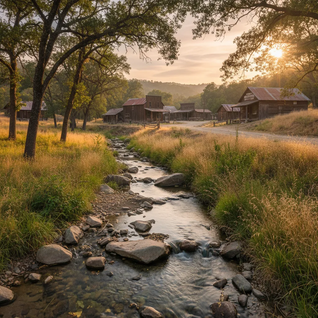
The Trinity River in far northern California is remote, productive, and lightly prospected compared to the Mother Lode. Trinity County has over 1,200 USGS-documented gold sites — a massive concentration that gets a fraction of the attention the American River receives.
The Trinity was a major producer in the 1850s and the geology hasn’t changed. Fine gold, public land along the river, and enough solitude that you can work all day without seeing another prospector. The Klamath Mountains geology differs from the Sierra Nevada — here you’ll find gold associated with both quartz veins and greenstone belts, sometimes with platinum as a bonus.
Access via Highway 299 west of Redding. The drive is worth it if you’re looking for less pressure and more gold per effort hour.
Best season: Summer through early fall. The Trinity runs cold and fast from spring snowmelt until July.
7. East Fork San Gabriel River (34.2714°N, 117.7561°W)
Southern California has gold — and this is the most accessible spot in the Los Angeles basin. The East Fork of the San Gabriel River in the Angeles National Forest has been panned since the 1840s, predating the Gold Rush by several years. Mexican miners worked these drainages when California was still part of Mexico.
The legal situation here is debated. Rangers primarily check for a day-use Adventure Pass ($5/day or $30/year) rather than prospecting equipment. Gold panning with hand tools is generally tolerated on National Forest land, but motorized equipment is prohibited. Check current Forest Service regulations before going — enforcement varies.
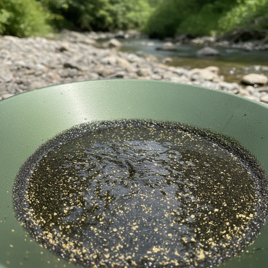
The gold is fine, flour-sized, and mixed with heavy black sand. Don’t expect nuggets. But it’s gold, in a creek 45 minutes from downtown LA, and that novelty alone makes it worth a trip. A good test run if you’re new to gold panning and want to try before committing to a multi-day Sierra Nevada trip.
Best season: Late fall through early spring, when water is flowing but manageable. Summer heat in the San Gabriel canyon is brutal.
8. Butte Creek Recreation Area (39.7834°N, 121.6953°W)
Butte County in the northern Sierra foothills offers scenic gold panning for beginners and experienced prospectors alike. The area around the Butte Creek drainage has documented gold production and public access on BLM and Forest Service land.
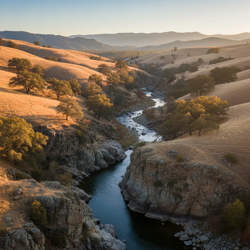
The setting is beautiful — foothill oak woodland with clear water running over granite bedrock. Less famous than the American or Yuba rivers, which means fewer people and more unworked gravel. The USGS data shows hundreds of gold occurrences in the surrounding foothills.
Best season: Late summer through fall for lowest water levels and easiest bedrock access.
California Gold Panning Laws and Permits (2026)
California has specific rules that differ from most western states. Know them before you go.
What’s Legal Without a Permit
- Hand panning on BLM land, National Forest land, and designated recreation areas — no permit required
- Hand sluicing with non-motorized sluice boxes on most public land
- Crevicing with hand tools (screwdrivers, spoons, rock picks)
- Metal detecting on public land (with digging restrictions)
- Classifying and screening material by hand
What’s Banned
Suction dredging is illegal in all California waterways. The state banned motorized suction dredging in 2009 and the ban remains in effect. No motorized suction equipment of any kind in any stream, river, or waterway. Violation carries significant fines.
Highbankers and power sluices that use motorized pumps are prohibited in waterways. Dry-land highbanking (processing material away from the water source) occupies a legal gray area — check with the local BLM or Forest Service office.
Where You Can’t Pan
- State Parks: Gold panning is generally prohibited in California State Parks unless specifically designated (Marshall Gold Discovery SHP has designated panning areas)
- Active mining claims: Check the BLM LR2000 database for claims. Panning on someone else’s claim without permission is trespassing
- Wilderness areas: Most designated wilderness areas prohibit prospecting with any tools
- Private property: Obviously requires landowner permission
Tips for Staying Legal
- Check claim status on BLM LR2000 before prospecting any specific location
- Carry a Forest Service Adventure Pass ($5/day) when on National Forest land
- Follow Leave No Trace — fill holes, pack out everything, don’t disturb banks
- Don’t build dams or redirect water flow — this violates Fish and Wildlife codes
- When in doubt, call the local ranger district. They’ll tell you exactly what’s allowed
Best Time to Pan for Gold in California
Timing matters more in California than most states because the Sierra Nevada snowpack drives river conditions across the entire gold belt.
| Season | Conditions | Best For |
|---|---|---|
| Spring (Mar–May) | High water, dangerous currents, murky | Scouting only — new gold is being deposited but rivers are too fast to work safely |
| Summer (Jun–Aug) | Water dropping, warming | Higher-elevation rivers (Yuba, Feather). Prime time but popular spots get crowded |
| Fall (Sep–Nov) | Lowest water, exposed bedrock | Best overall. Access gravel bars and bedrock submerged the rest of the year. Fewer crowds |
| Winter (Dec–Feb) | Rain events, cold, variable | Desert prospecting in Southern California. Sierra streams are cold and unpredictable |
The single best month for California gold panning is October. River levels are at their annual low, exposing bedrock that’s been underwater since spring. The summer crowds have thinned. Temperatures in the foothills are comfortable — warm days, cool nights. And the fall rains haven’t started moving material yet, so the gold deposited by last winter’s storms is sitting right where the water left it.
Heavy water years are gold years. When California gets above-average snowpack, the spring runoff moves more material downstream, exposing previously buried deposits and redepositing gold in new locations. The winter of 2022–2023 dumped record snow on the Sierra — prospectors reported noticeably better finds in fall 2023 at spots that had seemed played out.
Gear That Works for California Conditions
California gold is predominantly fine — flour gold and small flakes that punish sloppy technique. Your equipment setup needs to match.
Essential gear:
- 14” gold pan with riffles (the Garrett green pan is a $12 workhorse)
- Classifier (1/2” mesh minimum) to screen out rocks before panning
- Snuffer bottle — non-negotiable for California flour gold. Pro-Line makes a reliable one for under $10
- Crevicing tools — flat-head screwdriver, dental pick, small spoon for cleaning bedrock cracks
- Glass vial with screw cap for storing finds
- 5-gallon bucket for transporting material from the creek to your panning spot
Worth adding:
- Hand sluice box — processes 10x the material of a pan alone. Legal on most BLM land in California
- Magnifying loupe (10x) — helps distinguish gold from pyrite and mica
- Knee pads or foam pad — you’ll be kneeling on river rocks for hours
Leave at home:
- Suction dredge (illegal statewide)
- Motorized highbanker (prohibited in waterways)
- Rocker box (legal but overkill for recreational panning)
Metal Detecting for California Gold
While panning targets fine placer gold in waterways, metal detecting opens up entirely different ground. California’s desert regions — the Mojave, parts of Kern County, and San Bernardino County — produce detectable nuggets from dry washes and hillside deposits.
Burn scar areas deserve special mention. Wildfires strip vegetation and topsoil, exposing gold deposits that were previously hidden. Experienced detectorists in California specifically target recent burn zones — one crew documented finding 42 pieces totaling 10.5 grams in a single three-hour session at a California burn scar location, with individual nuggets ranging from 0.2g to 1.48g.
The lesson: clay seams in bedrock are gold indicators. Clay either trapped gold during historical washing operations or marks areas the old-timers missed entirely. If you’re detecting and hit clay in a bedrock crack, slow down and work it thoroughly.
What You’ll Realistically Find
Manage your expectations. After 175 years of prospecting, the easy California gold is gone. Here’s what a typical recreational trip looks like:
- Beginner at a good spot: A few visible flakes after 3–4 hours of panning. Maybe 0.05–0.1 grams.
- Experienced prospector with a sluice: 0.5–2 grams in a full day at a productive location.
- Metal detecting in the right terrain: Highly variable — zero for days, then a pocket that produces multiple grams.
The economics don’t work for most people. A gram of gold is worth roughly $95 at current spot prices. Gas, food, and gear will exceed your finds on almost every trip. That’s not the point. The point is standing in a creek that forty-niners worked 175 years ago and pulling real gold out of the same gravel. If you need it to make financial sense, this isn’t your hobby.
But the gold is objectively there. California’s 23,872 documented sites aren’t historical footnotes — they’re active geological features that keep producing. Every winter storm moves new material. Every spring flood recharges the placers. The best prospecting locations in the USA include multiple California spots for a reason.
Beyond Panning: California Prospecting Clubs
Joining a prospecting club gives you access to private claims, group outings, and experienced mentors. Several California clubs maintain claims on productive ground that’s off-limits to the general public.
The Gold Prospectors Association of America (GPAA) has multiple claims in California, including stretches of the East Walker River and properties in the Mother Lode. Annual membership gets you access to these claims plus organized group outings.
Dave McCracken’s New 49ers on the Klamath River at Happy Camp is specifically worth mentioning. Membership-based, with hands-on instruction for beginners and access to miles of private claim on the Klamath — one of California’s most productive gold rivers. If you’re serious about learning, this is where experienced prospectors recommend starting.
Local clubs in Sacramento, the Bay Area, and Southern California run monthly meetings and regular outings. The Sacramento club in particular has members who’ve been working Placer County rivers for decades and are generous with specific location knowledge.
Explore California’s 23,872 Gold Sites
Every mine and gold occurrence mentioned in this article — and the 23,000+ I didn’t mention — is plotted on the GoldFever.app interactive map. Zoom into any California county, tap a marker, and see the full USGS record: mine name, commodities, production status, and exact coordinates. Filter by active mines, past producers, or abandoned mine sites to find spots near wherever you’re planning to prospect.
California still has gold — more than any other state, by a wide margin. The data proves it. The question isn’t whether there’s gold to find. It’s whether you’re willing to drive to the foothills, kneel in a cold creek, and work for it. The forty-niners would tell you it’s worth it. So would I.