Published
- 27 min read
Gold Mines by State 2026: 74,805 USGS Sites Ranked
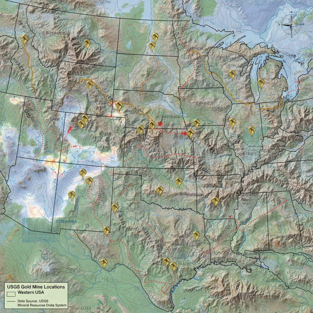
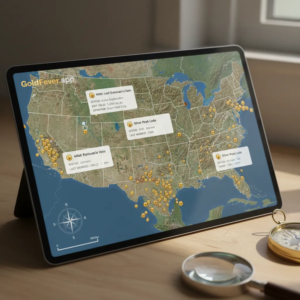
How many gold mines by state actually exist in the US? I spent over a year importing, cleaning, and normalizing the USGS Mineral Resources Data System (MRDS) into the GoldFever.app gold mine map to answer that question definitively. What started as a side project to map a few hundred mines turned into an obsession that consumed most of my weekends through 2025. The result, current as of 2026: 74,805 documented gold-bearing sites across 37 US states, every single one geocoded, searchable, and ranked.
Nobody else has published this complete gold mines by state breakdown in article form. You can find bits and pieces scattered across USGS PDFs, state geological survey reports, and academic papers — but nowhere can you see the full picture of American gold in one place. Until now.
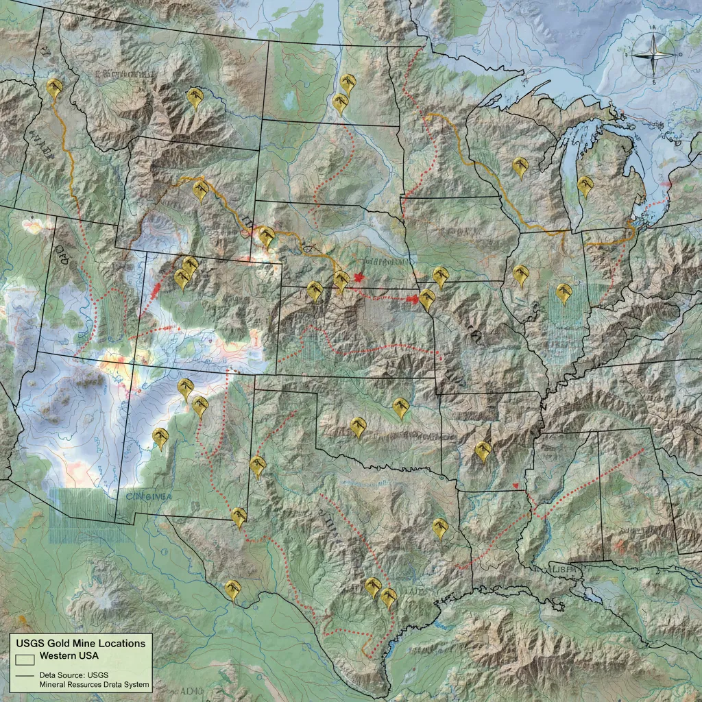
Gold Mines by State: The Complete USGS Count (2026)
Here’s every state with documented gold-bearing sites in the USGS MRDS database, ranked by total count. “Producers” means currently active operations. “Past Producers” means mines that produced gold historically but are no longer operating. “Prospects” and “Occurrences” are sites where gold has been identified but may never have been commercially mined.
| Rank | State | Gold Sites | Producers | Past Producers | Prospects | Occurrences |
|---|---|---|---|---|---|---|
| 1 | California | 23,872 | 1,444 | 8,813 | 2,659 | 6,155 |
| 2 | Alaska | 8,177 | 294 | 2,859 | 3,183 | 1,718 |
| 3 | Nevada | 7,682 | 401 | 3,890 | 1,377 | 1,567 |
| 4 | Colorado | 6,088 | 401 | 4,084 | 109 | 1,007 |
| 5 | Arizona | 5,051 | 687 | 2,732 | 610 | 656 |
| 6 | Oregon | 4,829 | 333 | 1,572 | 1,155 | 1,494 |
| 7 | Montana | 4,769 | 216 | 2,297 | 708 | 973 |
| 8 | Idaho | 4,468 | 166 | 1,880 | 942 | 1,216 |
| 9 | Washington | 3,439 | 78 | 685 | 990 | 1,178 |
| 10 | Utah | 1,542 | 121 | 925 | 72 | 413 |
| 11 | New Mexico | 1,304 | 101 | 638 | 253 | 162 |
| 12 | North Carolina | 591 | 65 | 401 | 71 | 54 |
| 13 | South Dakota | 528 | 50 | 364 | 26 | 49 |
| 14 | Georgia | 503 | 1 | 297 | 178 | 25 |
| 15 | Virginia | 432 | 2 | 290 | 20 | 118 |
| 16 | South Carolina | 293 | 1 | 131 | 22 | 15 |
| 17 | Alabama | 286 | 2 | 183 | 31 | 69 |
| 18 | Wyoming | 281 | 7 | 116 | 48 | 106 |
| 19 | Tennessee | 222 | 4 | 42 | 10 | 166 |
| 20 | Maine | 134 | 1 | 46 | 32 | 27 |
| 21 | Michigan | 71 | 2 | 2 | 36 | 28 |
| 22 | Texas | 41 | 1 | 18 | 1 | 21 |
| 23 | Maryland | 32 | 0 | 28 | 2 | 1 |
| 24 | Vermont | 29 | 9 | 11 | 0 | 9 |
| 25 | Minnesota | 23 | 0 | 1 | 5 | 2 |
| 26 | New Hampshire | 19 | 0 | 14 | 2 | 3 |
| 27 | Wisconsin | 13 | 1 | 1 | 6 | 1 |
| 28 | Pennsylvania | 9 | 1 | 4 | 1 | 3 |
| 29 | Missouri | 9 | 1 | 4 | 4 | 0 |
| 30 | Massachusetts | 9 | 0 | 7 | 0 | 0 |
| 31 | Connecticut | 7 | 0 | 5 | 0 | 2 |
| 32 | New York | 5 | 0 | 3 | 0 | 0 |
| 33 | Oklahoma | 4 | 0 | 3 | 0 | 1 |
| 34 | Arkansas | 4 | 1 | 0 | 1 | 0 |
| 35 | Rhode Island | 2 | 0 | 2 | 0 | 0 |
| 36 | Illinois | 1 | 0 | 0 | 0 | 0 |
| 37 | Nebraska | 1 | 0 | 0 | 0 | 0 |
Total: 74,805 gold-bearing sites across 37 states. Data current to 2026, sourced from the USGS MRDS.
A few things jump out immediately. California has more documented gold sites than the next three states combined. The western US dominates — the top 10 states are all west of the Mississippi except North Carolina, which sneaks in at number 12. And states you’d never associate with gold mining — Rhode Island, Illinois, Nebraska — each have at least one documented site.
You can explore every single one of these mines on the interactive gold mine map. Pan to any state, zoom in, and tap individual mine markers for full USGS records including commodities, production history, and coordinates.
Which State Has the Most Gold Mines? The Quick Answer
California has the most gold mines of any US state with 23,872 documented gold-bearing sites, followed by Alaska (8,177) and Nevada (7,682). Together, the top three states contain 39,731 gold sites — over 53% of every documented gold-bearing location in America. California alone accounts for 31.9% of all US gold sites.
Top 10 States Ranked and Explained
1. California — 23,872 Gold Sites
California isn’t just first on this list. It’s first by a landslide that makes the rest look like a rounding error. Nearly one out of every three documented gold sites in America is in California.
The breakdown tells a story. Of those 23,872 sites, 8,813 are past producers — mines that actually extracted gold commercially and then shut down. Another 1,444 are listed as current producers. That leaves over 8,800 prospects and occurrences — places where gold was identified but never fully developed. There’s a reason geologists estimate 80-90% of California’s gold has never been recovered.
The Mother Lode belt running through the Sierra Nevada foothills accounts for a huge chunk of these sites. But gold shows up across the entire state — the Klamath Mountains in the north, the Mojave Desert in the south, the Coast Ranges along the Pacific. The most common associated minerals at California gold sites are silver, copper, and lead. For specific creeks and rivers worth panning, our California gold panning guide breaks down the best public access points by region.
I’ve panned California creeks myself and still find gold in spots that have been worked for 170 years. The South Fork American River near Coloma — the exact stretch where James Marshall kicked off the 1848 Gold Rush — still produces fine placer gold if you know where to dig.
2. Alaska — 8,177 Gold Sites
Alaska is the wild card. It has the second-highest gold site count in the database, but the state is so massive and so remote that most of these sites have barely been touched since their initial survey.
What stands out in Alaska’s data is the prospect-to-producer ratio. 3,183 prospects versus only 294 current producers. That’s a huge number of identified gold deposits that nobody’s commercially mining — partly because of the logistics of operating in Alaska (ice roads, permafrost, grizzly bears between you and your claim), and partly because many of these deposits were surveyed decades ago when gold prices didn’t justify the extraction cost.
Nome Beach is probably the most accessible Alaskan gold for recreational prospectors. People literally pan on the beach — gold concentrates in the black sand along the surf line, mostly placer gold deposited by ancient rivers. The Fortymile district near the Canadian border has been producing since 1886 and still draws small-scale miners every summer.
The most common minerals alongside Alaskan gold are silver, copper, and lead — but you also see tungsten show up more frequently than in other states, especially in the interior.
3. Nevada — 7,682 Gold Sites
Here’s a fact that might surprise you: Nevada produces roughly 75% of all US gold output despite ranking third in total sites. The reason is industrial scale. Nevada’s Carlin Trend and Battle Mountain–Eureka corridor contain some of the world’s highest-tonnage gold deposits, but at low grades — a couple grams per ton of ore that only makes economic sense with massive open-pit operations.
Nevada’s numbers tell a different story than California’s. It has 3,890 past producers and only 401 current producers, but those 401 active operations include mega-mines run by Barrick and Newmont that individually produce more gold than entire states.
For recreational prospectors, Nevada is tricky. Most of the accessible gold is microscopic — trapped in sulfide minerals that require crushing and chemical processing. Knowing how to identify real gold versus pyrite is essential here. But there are placer deposits in the northern part of the state, particularly in the Tuscarora and Jarbidge districts, where you can pan with some success.
The geology is dominated by epithermal systems — gold deposited by hot fluids near the earth’s surface, often associated with ancient hot spring activity. Silver is the most common associated mineral by a wide margin, found at 5,415 of Nevada’s gold sites.
4. Colorado — 6,088 Gold Sites
Colorado has the highest producer-to-total ratio of any state in the top five. Out of 6,088 gold sites, a staggering 4,084 are past producers — meaning 67% of documented gold sites in Colorado actually produced commercial gold at some point. That’s not just prospects or geologic curiosities. That’s real mining history.
The mineral association data is distinctive too. Silver, lead, and zinc are the top three associated minerals, reflecting Colorado’s polymetallic vein deposits. The San Juan Mountains around Silverton are classic examples — mines like the Sunnyside and Camp Bird produced gold alongside massive quantities of silver.
For recreational gold panning, Colorado is one of my favorite states and where I do most of my prospecting. Clear Creek at Idaho Springs is thirty minutes from Denver and I’ve never been skunked there. If you’re learning to find gold in rivers, the South Park district near Fairplay has coarser gold with fewer crowds. The Animas River drainage near Silverton has chunky gold but requires more effort to reach.
5. Arizona — 5,051 Gold Sites
Arizona doesn’t get enough credit as a gold state. With 5,051 documented sites and 2,732 past producers, it has a substantial mining heritage that often gets overshadowed by its copper industry.
The copper connection is actually key to understanding Arizona gold. Copper is the second most common associated mineral (3,074 sites), and many of Arizona’s gold deposits occur alongside copper in porphyry systems. The famous mines around Jerome, Bisbee, and Globe produced gold as a byproduct of copper mining for decades.
Arizona also has 687 current producers — the highest count of any state — though many of these are small-scale placer operations rather than large industrial mines. Lynx Creek near Prescott is one of the most productive recreational panning spots in the country, open to the public on Prescott National Forest land. Our full Arizona gold panning guide covers the best districts, regulations, and what to expect at each location.
6. Oregon — 4,829 Gold Sites
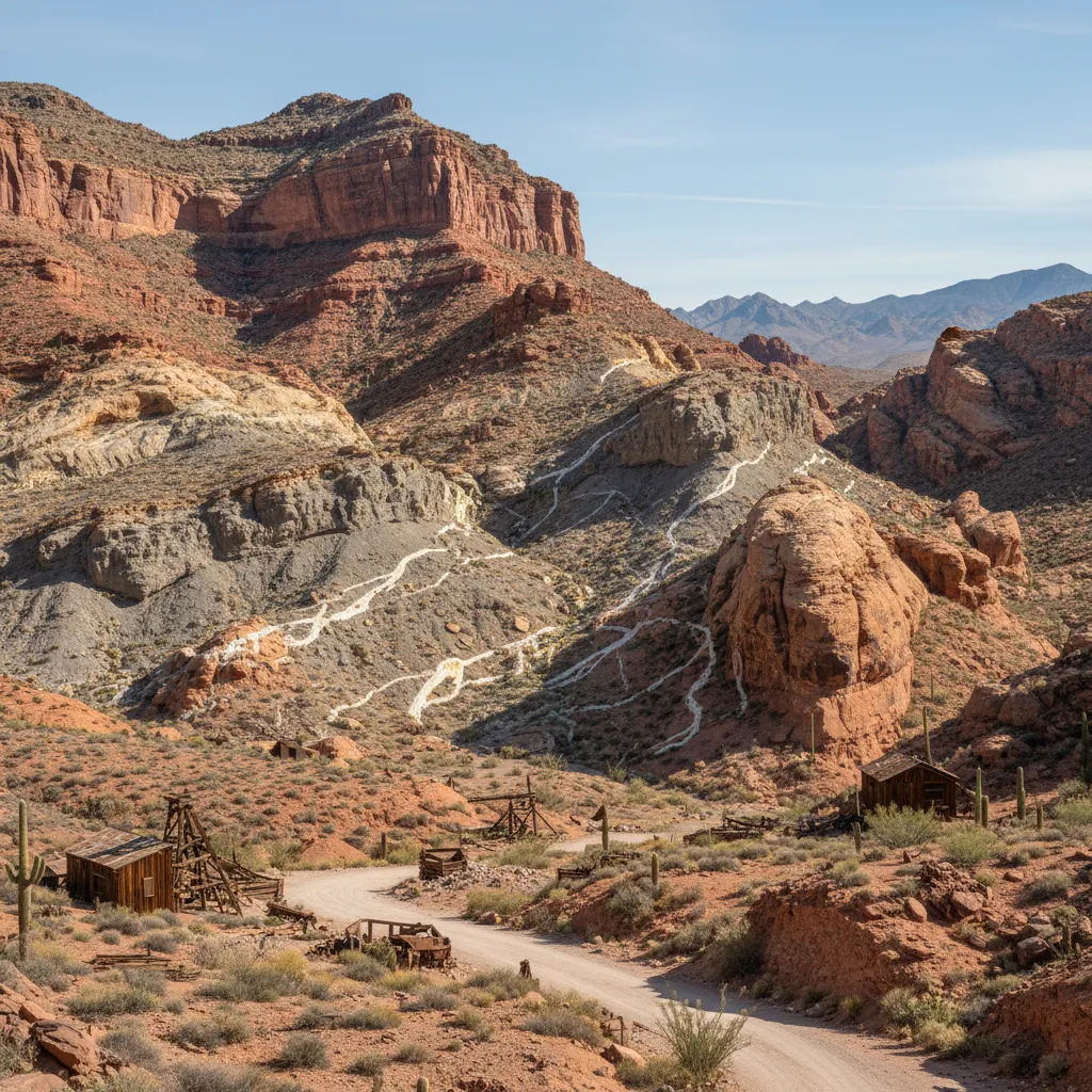
Oregon surprises people. Nearly 5,000 documented gold sites puts it ahead of Montana and Idaho, two states with more famous mining histories. Oregon’s gold districts — the Blue Mountains, Bohemia, and the southwestern Klamath region — were heavily worked during the 1800s but receive relatively little attention today.
The state has 1,572 past producers and 333 current producers. But what really stands out is the occurrence count: 1,494 sites where gold has been documented but never commercially developed. Oregon’s dense forests and difficult terrain have likely kept many deposits under-explored.
Josephine Creek in southern Oregon is a well-known recreational spot, and the Galice district along the Rogue River has been producing since the 1850s.
7. Montana — 4,769 Gold Sites
Montana’s gold history runs deep — Bannack, Virginia City, and Last Chance Gulch (now downtown Helena) were all founded on gold strikes in the 1860s. The state has 4,769 documented gold sites with 2,297 past producers, and the associated mineral profile (silver, lead, copper) reflects the complex polymetallic deposits in the western mountain ranges.
Libby Creek in the northwest is a reliable recreational panning destination. The Alder Gulch near Virginia City has been worked since 1863 and still produces. Montana’s gold tends to be coarser than what you find in Colorado or California, which makes panning more rewarding for beginners who have the right gold panning equipment.
8. Idaho — 4,468 Gold Sites
Idaho has more gold sites than most people would guess, concentrated in the central mountain wilderness. The Boise Basin around Idaho City was one of the richest placer gold deposits in North American history — an estimated $250 million in gold was extracted in the 1860s alone (at period prices).
With 1,880 past producers and 1,216 occurrences, Idaho’s gold story is one of both historic production and untapped potential. The state’s rugged backcountry has kept many deposits difficult to access, which means there’s a higher proportion of unexplored sites compared to more accessible states.
Orofino Creek in northern Idaho remains a popular prospecting destination.
9. Washington — 3,439 Gold Sites
Washington often gets overlooked for gold, but 3,439 documented sites is nothing to dismiss. The catch: most Washington gold is associated with volcanic activity along the Cascades, which means it tends to occur as a byproduct of copper and silver mining rather than in standalone gold deposits.
Only 78 current producers and 685 past producers — the lowest producer ratio of any top-10 state. Washington has 990 prospects and 1,178 occurrences, suggesting significant unexplored potential. The dense vegetation of the Pacific Northwest (devil’s club, thick timber, feet of overburden) makes surface prospecting extremely difficult, which likely explains why so many deposits remain at the prospect or occurrence stage.
The Mount Baker mining district was heavily prospected during 1897-1898 when thousands of miners flooded the area, and produced gold and silver through the 1940s. Modern tools like LiDAR, geologic mapping, and metal detectors give today’s prospectors significant advantages over those early miners who were navigating blind.
10. Utah — 1,542 Gold Sites
Utah rounds out the top 10 with 1,542 documented gold sites, heavily skewed toward production: 925 past producers plus 121 current producers means 68% of Utah’s gold sites have actually produced. That’s the highest producer ratio on this entire list.
The Bingham Canyon mine (Kennecott) is one of the largest open-pit mines in the world and produces gold alongside copper using industrial mining techniques. But Utah’s smaller districts — the Tintic, Park City, and Gold Hill — have rich histories of standalone gold production dating to the 1860s, and many of these old mine sites are worth exploring with modern equipment.
Top Gold-Producing Counties Across America (County-Level Breakdown)
Going one level deeper than the state ranking, here are the highest-density gold counties in the USGS MRDS dataset. These rankings reflect aggregated gold-site counts within each county and highlight the specific districts where prospecting effort has historically concentrated. State-level totals capture the big picture; county-level data tells you where to actually start your search.
| State | Top Counties (by gold site count) | Notable Mining Districts | Why It Matters |
|---|---|---|---|
| California | Sierra, Nevada, El Dorado, Mariposa, Plumas, Trinity, Tuolumne | Northern Mother Lode, Southern Mother Lode, Klamath, Yuba River | Mother Lode counties contain the densest concentration of past-producing placer mines in North America |
| Alaska | Yukon-Koyukuk, Nome, Fairbanks North Star, Denali, Southeast Fairbanks | Fortymile, Iditarod, Circle, Nome Beach | Remote interior boroughs hold thousands of under-explored prospects |
| Nevada | Elko, Eureka, Humboldt, Pershing, Lander, Nye | Carlin Trend, Battle Mountain–Eureka, Cortez | Five counties contain virtually all of Nevada’s massive industrial gold output |
| Colorado | Lake, Teller, San Juan, Boulder, Gilpin, Clear Creek, Hinsdale | Leadville, Cripple Creek, San Juan Mountains, Central City | Highest producer-to-site ratio in the country — these counties built mining-camp Colorado |
| Arizona | Yavapai, Mohave, Pinal, Maricopa, Gila, Cochise | Bradshaw Mountains, Bagdad, Vulture, Globe-Miami | Yavapai County alone contains more current producers than most US states |
| Oregon | Baker, Grant, Josephine, Jackson, Douglas | Blue Mountains, Galice, Bohemia, Greenhorn | Baker County is Oregon’s gold heartland — over 1,500 documented sites |
| Montana | Lewis and Clark, Madison, Powell, Silver Bow, Beaverhead, Granite | Helena/Last Chance Gulch, Alder Gulch, Butte, Pioneer | Madison County’s Alder Gulch produced more placer gold than any other district in Montana |
| Idaho | Idaho, Boise, Shoshone, Lemhi, Valley, Custer | Boise Basin, Coeur d’Alene, Yankee Fork, Florence | Idaho County is geographically larger than several US states and dense with gold prospects |
| Washington | Okanogan, Stevens, Ferry, Whatcom, Chelan | Republic, Mount Baker, Wenatchee, Conconully | Northern Cascade counties carry nearly all of Washington’s gold inventory |
| Utah | Salt Lake, Tooele, Juab, Beaver, Tintic | Bingham Canyon, Tintic, Park City, Gold Hill | Salt Lake County contains Kennecott Bingham — among the largest gold-producing mines on earth |
| North Carolina | Mecklenburg, Cabarrus, Stanly, Union, Montgomery | Carolina Slate Belt | Cabarrus County is the site of America’s first documented gold discovery (1799) |
| Georgia | Lumpkin, White, Cherokee, Hall, Forsyth | Dahlonega Gold Belt | Lumpkin County was the heart of America’s pre-California gold rush |
This county-level view explains why the data matters in practice. The 74,805 figure isn’t an abstraction. It maps onto specific drainages, specific National Forest districts, and specific BLM management areas — places you can actually visit. Use the GoldFever.app map to drill from state to county to individual claim coordinates.
Actionable takeaway: Before planning a prospecting trip, identify the top 1-2 counties in your target state from the table above, then check those counties on the interactive map for clusters of past-producer sites. Past-producer density is a far better predictor of recreational success than total site count.
How Many Gold Mines Are in the United States?
The USGS Mineral Resources Data System documents 74,805 gold-bearing sites across 37 US states as of 2026. Of these, approximately 4,392 are listed as currently active producers, 32,349 are past producers (mines that produced commercially in the past), 12,557 are prospects (explored but not produced), and the remainder are documented gold occurrences. The 13 states with zero documented gold-bearing sites are: Delaware, Florida, Hawaii, Indiana, Iowa, Kansas, Kentucky, Louisiana, Mississippi, New Jersey, North Dakota, Ohio, and West Virginia.
States With Active Gold Mining (2026)
If you’re asking which states still have active commercial gold mining operations, the answer narrows quickly. Industrial-scale production is concentrated in a small handful of states even though small-scale and recreational mining occurs in dozens.
Industrial gold-producing states (commercial output, 2026):
- Nevada — ~75% of total US gold output. Carlin Trend, Cortez, Round Mountain, Long Canyon.
- Alaska — Pogo, Fort Knox, Kensington, Greens Creek. Roughly 12-14% of national output.
- Colorado — Cripple Creek & Victor Mine continues large-scale heap-leach gold production.
- Utah — Bingham Canyon (Kennecott) produces gold as a copper byproduct.
- California — Mesquite Mine in Imperial County and smaller operations.
- South Dakota — Wharf Mine in the Black Hills continues active production.
- South Carolina — The Haile Mine in Lancaster County, the largest gold mine east of the Mississippi.
- Montana — Several small operations, including the Golden Sunlight Mine before its 2020 closure; Beal Mountain on care-and-maintenance.
For recreational and small-scale active mining, the picture widens. All western states permit some form of small-scale or hobbyist mining on public lands, subject to local regulations covered in our gold panning laws by state guide. Southern states like Georgia, North Carolina, and South Carolina host tourist mines and pay-to-dig operations.
Gold Mining States Ranked: Sites vs. Production
The two ways of ranking gold states give wildly different answers, and confusing them is the single most common mistake in articles on this topic. Here’s the side-by-side:
| Rank | By Mine Count (USGS sites) | By Annual Production (oz/year) |
|---|---|---|
| 1 | California (23,872) | Nevada (~4.3M oz) |
| 2 | Alaska (8,177) | Alaska (~700K oz) |
| 3 | Nevada (7,682) | Colorado (~250K oz) |
| 4 | Colorado (6,088) | Utah (~200K oz) |
| 5 | Arizona (5,051) | California (~150K oz) |
| 6 | Oregon (4,829) | South Carolina (~140K oz) |
| 7 | Montana (4,769) | South Dakota (~75K oz) |
| 8 | Idaho (4,468) | Arizona (~30K oz) |
| 9 | Washington (3,439) | Montana (~20K oz) |
| 10 | Utah (1,542) | New Mexico (~5K oz) |
Why the divergence? Site count reflects historical exploration intensity. Production reflects modern industrial extraction at scale. California has 23,872 documented gold sites — most of them small placer claims from the 1849-1890 era — but its modern annual output is dwarfed by Nevada’s handful of mega-mines on the Carlin Trend. Annual production figures are approximate and based on USGS Minerals Yearbook data for recent years. For cumulative all-time output by state — a third ranking that looks different again — see our historical gold production by state breakdown.
Why Nevada Dominates: The Carlin Trend Explained
Nevada’s outsized production share comes from one geological feature: a 40-mile-long northwest-southeast trending belt in north-central Nevada called the Carlin Trend. The trend hosts more than 100 individual gold deposits, including Goldstrike, Cortez, Pipeline, and Gold Quarry — mines that collectively produced over 80 million ounces of gold since their discovery in 1961.
What makes Carlin-type deposits unique is that the gold is microscopic. It’s locked inside pyrite crystals and arsenic-bearing sulfides, invisible to the naked eye. You could be standing on a multi-million-dollar ore body and never see a flake of gold. Extraction requires fine grinding (often below 75 microns), then either roasting or pressure-oxidation to break down the sulfides, then cyanide leaching to dissolve the gold. The entire process only works at industrial scale.
This is why Nevada ranks third in total documented gold sites but first in modern production by a factor of six over the second-place state.
The Surprise States: Gold Where You Wouldn’t Expect It
The Southeast Gold Belt
Four southeastern states make this list with combined totals that rival some western states:
- North Carolina: 591 sites — America’s first gold rush happened here, not California. In 1799, a twelve-year-old named Conrad Reed found a 17-pound nugget at Little Meadow Creek. His family used it as a doorstop for three years. By 1820, North Carolina had 300 gold mines operating and was the nation’s leading gold producer.
- Georgia: 503 sites — Gold was discovered near Dahlonega in 1829, triggering a rush that led directly to the Trail of Tears when gold was found beneath Cherokee land. The Dahlonega Mint operated from 1838 to 1861.
- South Carolina: 293 sites — The Haile Mine in Lancaster County is one of the most significant gold operations on the East Coast and is actively producing today.
- Alabama: 286 sites — The Hog Mountain district in Tallapoosa County produced gold commercially into the 1900s.
Combined, the Southeast Gold Belt has 1,673 documented gold sites. That’s more than Utah and would rank it 10th on the list if counted as a single state.
New England Gold
Yes, really. Maine has 134 documented gold sites. Vermont has 29. New Hampshire has 19. Massachusetts has 9. Connecticut has 7. Even Rhode Island has 2 past-producing gold sites.
New England gold tends to occur in metamorphic rock associated with ancient mountain-building events. The Swift River in Byron, Maine, is the most well-known recreational panning spot in the northeast.
The Oddballs
- Michigan (71 sites): Most are prospects in the Upper Peninsula’s Precambrian rocks, associated with copper deposits.
- Texas (41 sites): Concentrated in the Llano Uplift of central Texas and the Trans-Pecos region.
- Maryland (32 sites): All but four are past producers — Maryland has a surprisingly productive gold history along the Piedmont belt.
- Nebraska and Illinois (1 each): Yes, gold has been documented in these states. The Nebraska site is a complex mineralization occurrence. Illinois has a single site containing gold alongside gallium, iridium, and palladium.
Where Is the Largest Gold Mine in the United States?
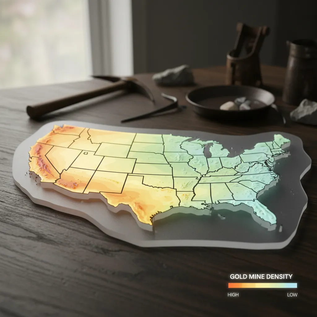
The largest gold mine in the United States by annual production is the Goldstrike (Betze-Post) complex in Eureka County, Nevada, operated by Barrick Gold on the Carlin Trend. Goldstrike has produced more than 50 million ounces of gold since the 1980s. Other major US gold mines include Cortez and Long Canyon (Nevada), Fort Knox and Pogo (Alaska), Cripple Creek & Victor (Colorado), and Bingham Canyon (Utah, where gold is a byproduct of copper).
The largest gold mine by physical pit size is the Bingham Canyon Mine in Utah — a 2.75-mile-wide, 0.75-mile-deep open pit visible from space, though it’s primarily a copper mine that recovers gold as a byproduct.
How to Find Gold Mines Near You (Using USGS Data)
The 74,805-site dataset is most useful when you can filter it down to “what’s within driving distance of my house.” Here’s how to actually use it:
- Open the GoldFever.app interactive gold mine map. Allow location access if you want to auto-center on your area.
- Filter by status. Past-producer markers are typically the most realistic prospecting targets — these sites have confirmed gold and are now generally accessible.
- Drill into county level. Zoom in until individual mine markers separate from cluster icons. Tap any marker for the full MRDS record including commodities and historic production notes.
- Cross-reference with public land status. Many MRDS sites sit on BLM, USFS, or state-managed land where small-scale recreational prospecting is permitted under state-specific laws. Sites on private or active-claim land are off-limits.
- Check waterways downstream. If a past-producer site sits along a creek or river, the drainage below it is often the most productive recreational target — placer gold doesn’t stop at the mine boundary. Running a sluice box on that gravel lets you process far more material per hour than panning alone.
For a complete walkthrough of using public databases and maps to locate sites you can legally access, see our guide to finding abandoned gold mines near you.
Active vs. Abandoned Gold Mines: What the Data Reveals
Across all 37 gold-producing states:
- ~4,392 active producers — operations USGS lists as currently producing
- ~32,349 past producers — mines that historically produced but are now inactive
- ~12,557 prospects — sites confirmed to contain gold but never commercially produced
- ~25,507 occurrences — locations where gold has been documented through sampling or survey
That means roughly 43% of all documented US gold sites are past producers — mines that worked at some point and were then abandoned. This is the single most actionable category for recreational prospectors. These sites have confirmed gold, established access roads, identifiable workings, and (most importantly) tailings piles and downstream drainages that frequently still contain recoverable placer gold. Bringing a metal detector to old mine workings is a proven strategy.
The 13 western states (California through Wyoming on the rank table above) contain ~85% of all US past-producer sites, which is why serious recreational prospecting is so geographically concentrated.
How This Data Was Compiled
This isn’t scraped from Wikipedia or pulled from a listicle. Here’s exactly how these numbers were produced:
Source: The USGS Mineral Resources Data System (MRDS) is the authoritative federal database of mineral deposits and mining operations in the United States. It’s maintained by the US Geological Survey and contains records dating back to the 1800s. It’s the most reliable way to count gold mines by state with verified, geocoded data.
Process: I downloaded the complete MRDS dataset, filtered for all records listing gold as a commodity (primary or associated), normalized the data into a consistent schema, geocoded every record, and imported all 74,805 sites into the GoldFever.app interactive map. Each record includes coordinates, development status, commodity list, production history, county, and state.
What the categories mean:
- Producer: Currently active mining operation
- Past Producer: Previously produced commercially, now inactive
- Prospect: Explored for potential development, gold confirmed but never commercially produced
- Occurrence: Gold documented at this location through sampling, survey, or observation
Limitations: The MRDS database is comprehensive but not perfect. Some records haven’t been updated in decades. “Producer” status may be outdated for operations that have since closed. Small-scale recreational mining operations are generally not included. And state boundaries for a few historical records may reflect older geographic conventions.
The data was last updated in our database in 2025-2026. The original MRDS records span from the early 1800s through modern surveys.
What Gold Mines by State Data Reveals About American Gold
A few patterns emerge when you look at the full dataset of where gold is found in the United States:
The West dominates, but the East has more production history than most people realize. The top 9 states are all western, but North Carolina (591 sites), Georgia (503), and Virginia (432) each have substantial gold histories. The Southeast Gold Belt is real and well-documented.
Producer ratios vary wildly. Colorado and Utah have ~67-68% of their gold sites classified as past or current producers. Washington has only about 22%. This doesn’t mean Washington has less gold — it means less of Washington’s gold has been commercially developed, likely due to access challenges and the dominance of copper/silver mining.
Silver is gold’s constant companion. In every single top-10 state, silver is the most commonly associated mineral at gold sites. This isn’t coincidental — gold and silver are geochemically linked and tend to deposit together in hydrothermal systems.
The prospect-to-producer gap suggests untapped potential. Across all 37 states, there are 12,557 prospects — sites where gold has been confirmed but never commercially produced. Many of these were identified when gold prices were far lower than today. At current prices above $3,000/oz, deposits that were uneconomical in the 1970s may deserve a second look. Understanding the full gold mines by state picture helps prospectors identify where undeveloped deposits are most concentrated.
Explore All 74,805 Gold Sites on the Map
Raw data in a table is useful, but seeing these mines plotted on a map changes your understanding entirely. Clusters emerge. Patterns become visible. You can see how gold deposits follow mountain ranges, trace ancient hydrothermal systems, and cluster along specific geologic contacts.
Open the interactive gold mine map → — zoom into any state, tap individual mines for full USGS records, toggle LiDAR elevation to see terrain, and find gold mines near your location.
Whether you’re a recreational prospector planning your next panning trip, a geology student studying mineral distribution, or just curious about what’s in the ground beneath your feet — the data is all there, free and searchable.
State-by-State Gold Prospecting Guides
The data above tells you where gold exists. These in-depth state guides tell you exactly where to go, what regulations apply, and what gear to bring:
- Gold Panning in California — Mother Lode creeks, the American River, Klamath drainage, and where you can still find color today. California’s 23,872 documented gold sites mean there’s a panning destination within reach of nearly any town in the state.
- Gold Panning in Colorado — Clear Creek, the San Juans, and South Park district. Colorado’s 6,088 gold sites include some of the most accessible panning in the Rockies.
- Is There Still Gold in California? — With 23,872 documented sites and an estimated 80-90% of gold still in the ground, the answer is a definitive yes. Where to find it today.
- Gold Panning in Arizona — Desert placer deposits, Lynx Creek, and 5,051 documented gold sites across Sonoran and high desert terrain.
- Gold Panning in Georgia — Dahlonega and the Southeast Gold Belt. Georgia’s 503 sites include America’s first gold rush territory.
- Gold Panning in North Carolina — The state that produced US gold before California existed as a state. 591 sites from the Uwharrie Mountains to the Piedmont.
- Where Is Gold Found in the United States? — The broader geographic picture of American gold deposits, geology, and regional patterns.
Looking for gold mines close to home? Check our guide to finding abandoned gold mines near you, learn how to locate gold panning spots near you, or jump straight to the interactive gold mine map and search by location.
Frequently Asked Questions
Which state has the most gold mines?
California has the most with 23,872 documented gold sites — nearly triple the second-place state (Alaska at 8,177). California also has the most past producers (8,813) and the most current producers (1,444). The Mother Lode belt in the Sierra Nevada foothills accounts for the largest concentration of these sites.
How many gold mines are in the United States?
The USGS MRDS database documents 74,805 gold-bearing sites across 37 states. Of these, approximately 4,392 are currently listed as active producers, 32,349 are past producers, 12,557 are prospects, and the rest are documented occurrences where gold has been identified but not commercially mined.
What states have active gold mining today?
The states with active commercial gold mining as of 2026 are Nevada, Alaska, Colorado, Utah, California, South Dakota, South Carolina, and Montana. Nevada alone accounts for approximately 75% of total US gold output. Recreational and small-scale mining is permitted in most western states on public lands, subject to local rules outlined in our gold panning laws guide.
What are the gold mining states ranked by production?
Ranked by annual gold production: (1) Nevada, (2) Alaska, (3) Colorado, (4) Utah, (5) California, (6) South Carolina, (7) South Dakota, (8) Arizona, (9) Montana, (10) New Mexico. This is very different from the ranking by total documented mine count, where California, Alaska, and Nevada take the top three spots respectively. Site count reflects historical exploration intensity; production reflects modern industrial extraction.
Which state produces the most gold today?
Nevada produces approximately 75% of all US gold output, despite ranking third in total gold sites. Nevada’s production comes from massive industrial operations on the Carlin Trend, operated by Barrick and Newmont — including the Goldstrike, Cortez, and Pipeline mines.
Where is the largest gold mine in the United States?
The largest US gold mine by annual production is Goldstrike (Betze-Post) in Eureka County, Nevada, operated by Barrick Gold. The largest by physical pit size is Bingham Canyon in Utah, though it’s primarily a copper mine with gold as a byproduct.
What states have no gold mines?
Based on USGS MRDS data, 13 states have no documented gold-bearing sites: Delaware, Florida, Hawaii, Indiana, Iowa, Kansas, Kentucky, Louisiana, Mississippi, New Jersey, North Dakota, Ohio, and West Virginia.
Can I pan for gold in my state?
If your state appears in the rankings table above, gold exists there. Whether you can legally pan depends on state and local regulations, land ownership, and permitting requirements. Generally, recreational panning on public land is allowed in most western states with minimal permitting. Check our beginner’s guide to gold panning and your state’s geological survey for specifics, or use our guide to finding gold panning locations near you to identify legal spots close to home.
What is the USGS MRDS?
The Mineral Resources Data System is a database maintained by the United States Geological Survey containing information on mineral deposits and mining operations across the country. It’s the most comprehensive federal source for mine location and commodity data, with records spanning from the 1800s to present. The 74,805 figure cited throughout this article is derived directly from filtering MRDS for records listing gold as a commodity.